


Clear Filters


Some announcements deserve a bit of ceremony, and this is one of them: we’ve upgraded our entire fleet to the DJI Matrice 4E.

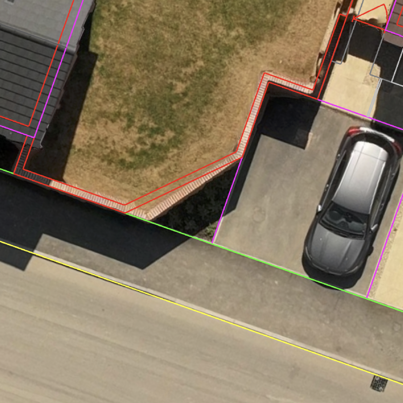
Construction sites move quickly. Questions come up constantly. Has this area been cut to level? Does the stockpile quantity look right? Is the build following the latest design? Has that issue actually been resolved onsite?
Using the Propeller Mobile App alongside drone survey data from Drone Surveying gives site teams direct access to critical project information while standing in the work itself.

Drone Surveying has won Digital Consultancy of the Year at the Digital Construction Awards 2026 – a proud moment that reflects our commitment to practical digital consultancy and real value for clients.